


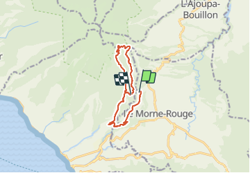
Domaine de la vallée via Hbt Pecoul

Lamartiniere
User GUIDE

Length
15.6 km

Max alt
895 m

Uphill gradient
754 m
Km-Effort
26 km

Min alt
216 m

Downhill gradient
769 m
Boucle
No
Creation date :
2022-02-15 12:36:49.894
Updated on :
2022-02-15 19:41:45.809
6h00
Difficulty : Difficult

FREE GPS app for hiking
 SityTrail
IGN / Geographical institutes
SityTrail Plus
The world is yours!
About
Trail Walking of 15.6 km to be discovered at Martinique, Unknown, Le Morne-Rouge. This trail is proposed by Lamartiniere.
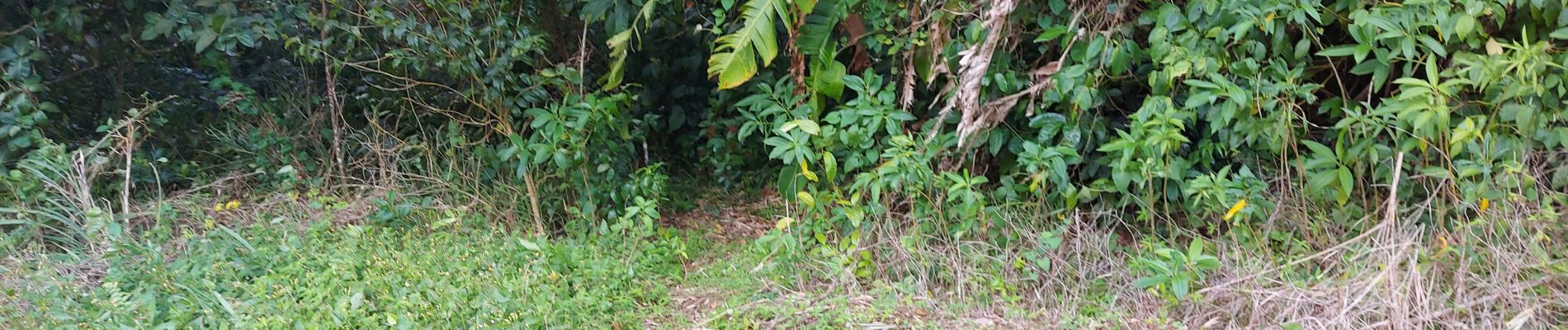
Photos


Positioning
Country:
France
Region :
Martinique
Department/Province :
Unknown
Municipality :
Le Morne-Rouge
Location:
Unknown
Start:(Dec)
Start:(UTM)
699759 ; 1635303 (20P) N.
Comments